|
Milburn, Silverband Mine, Great
Dun Fell, Cumbria |
|
|
NY 6652 2775 |
 Morning sun near Gullom Holme |
|
The recent heavy rain had stopped and low sun shone across the sodden fields as I walked back along the road towards Milburn. Passing Gullom Holme I noticed a dead red squirrel in the road, probably a recent victim of a passing car. Its colour was a delicate shade of reddish brown and it was the first time I’d seen one close up. I moved it to the grass verge. |
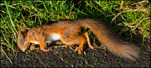 Tragic road kill |
|
I walked through Milburn to find the path that leaves to the east. It wasn’t marked and the first yellow arrow path sign I saw was after Town Head Farm. The path follows a narrow walled track then heads across fields towards Great Dun Fell in the distance. The recent heavy rain hadn’t drained away and the first few fields were completely waterlogged and difficult to walk across. The ground improved for a while until I reached Red Carle where I had to make several wide detours to negotiate the wet rushes. |
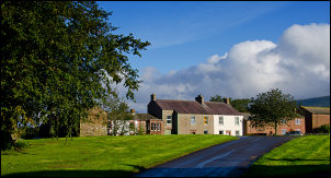 Milburn |
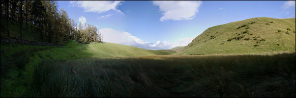 Mudgill Sike |
|
|
Mudgill Sike is an interesting geological feature. The path follows a diagonal track which descends into the deep valley. Another track can be seen on the other side but the intervening valley bottom is so wet I had to hop across rushy clumps to avoid the water going over the top of my boots. The path started to get steeper then flattened for a while as I approached the final wall where I passed through the gate and on to open fell. A steep path headed to the abandoned Silverband Mine workings. The weather had started to clear as I approached the workings. The Cumbrian fells of the Lake District were visible but cloud was still hanging over Great Dun Fell. Some pylons from the old cableway were still standing and some were lying on the ground. |
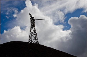 Cableway pylon |
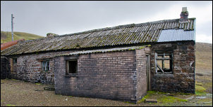 Silverband Mine building |
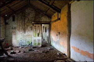 Silverband Mine building interior |
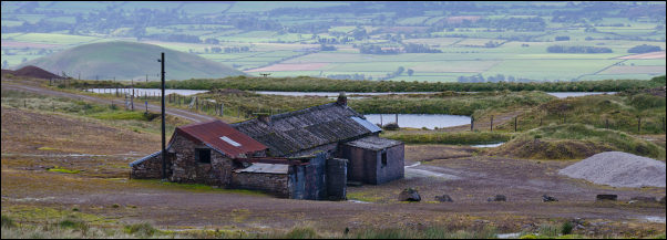 Silverband Mine |
|
|
I passed a recently constructed settlement lagoon on the way up and after crossing open ground picked up the main Pennine Way path between Little Dun Fell and Great Dun Fell. |
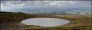 Settling pond |
|
The cloud was swirling around as I turned right to reach the Great Dun Fell summit and its NATS (National Air Traffic Services Limited) radar station. The cloud obscured any distant views but I was now on a tarmac road and had an easy walk down. I saw the first walker of the day as a man was coming up as I descended. Further down the clouds rolled in again with some short rain showers. I got back to the car at 2pm. |
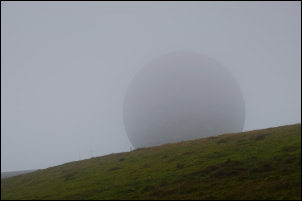 Great Dun Fell radar dome |
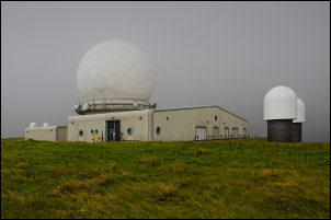 Great Dun Fell summit and its NATS (National Air Traffic Services Limited) radar station |
 Great Dun Fell access road and marker posts (for snow in winter) |
|
|
|