|
Kirkland, Brownsnout Band,
Greuve Mine, Little Dun Fell, Cumbria. |
|
|
NY 6506 3258 |
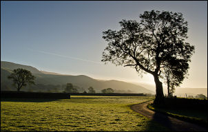 Walking to Ranbeck |
|
I turned left to head east towards the hills and Grumply Hill. The wide track was still very wet with lots of standing water in places. I was glad to get to the far gate and better ground underfoot. I took the nice green track up Littledale Beck and just past Grumply Hill summit. There is a flattish area before the climb of Wildboar Scar but instead of going up I was heading east to Greatdale and on to Middle Tongue Beck. |
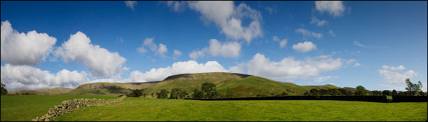
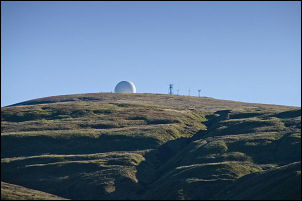 Great Dun Felll |
 Names at Greuve Mine |
|
|
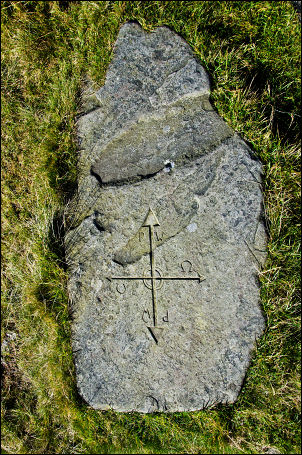
There is no path so I followed the contour for a while then steeply down to Crowdundle Beck where I managed to get across without any problems. On the far side I climbed up to the base of Brownsnout Band and then towards Middle Tongue Beck where I had another look at the old mine level and ruined building. I was here last week but then it was mist and heavy rain. Now I had ideal conditions and was able to see the miner’s names carved on the stone slab with full clarity. |
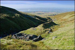 Greuve Mine |
|
After a pleasant stop at the mine and a closer look at the ruin I headed steeply up Middle Tongue to the north. The gradient eased and for a while and it was fairly dry underfoot. On the edge of Blea Crag I came to an old cairn then headed NE towards my next objective. I’d seen an old disused dam on the map and wanted to check it out. As I approached it there were some interesting shake holes indicating interesting geology below ground. The dam was quite large and originally held back a substantial reservoir. The outlet area was breached so no water was retained. |
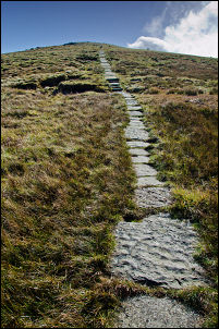 The Pennine Way |
|
There was no watercourse leading from it and I couldn’t figure out what it could have been used for. It was possibly to supply water for lead mining but with no watercourse I was mystified. Up ahead was Little Dun Fell but I didn’t go over the summit but turned left to follow the contour on the west side to join up with the Pennine Way. It was a pleasant walk with interesting boulders and still good views. At the main path I was on stone slabs which were now dry and safe to walk on. After Crowdundle Head I reached the path that crosses from Teesdale back down to Littledale. The marker stone with a cross cut in it was now clearly visible. I turned left to head down towards Widboar Scar but the path was still terribly wet as it was last week. Eventually the ground improves by Sturba Nook and I was able to descend Wildboar Fell and Littledale. I didn’t fancy negotiating the terribly wet path to Wythwaite so took a faint track towards Tottle Hill. Through a gate I crossed the field towards Ladypark Wood where men with a vehicles were working on the wire fence. I reached the track that took me to Ranbeck and decided to use a path I’d not used before through fields back to Kirkland. |
 Pennine Way junction |
 Wythwaite Top and Moray Hill |
|
|
|
|