|
Teesdale, Watson's Bridge, Swinhope Head, Flushiemere House, Co. Durham. |
|
|
OS
Grid ref: NY 90997 30194 Lat/Long: 54.666745, -02.141098 There was a large area of firm grass adjacent to Watson’s Bridge above Newbiggin, Teesdale for me to park my car. I set off up the road towards Swinhope Head and walked through an area of old mine working which had left large areas of scarring on the landscape. |
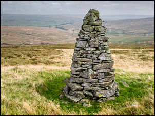 First currick |
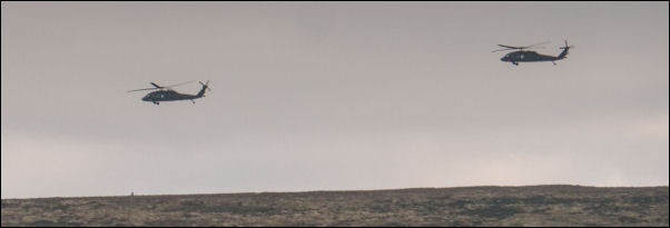 Military maneuvers |
|
| Swinhope Head is the highest point on the road and a newly stoned area by the road has provided a large car parking space. Although this is good walking country there are no paths shown on the map and not much evidence of footpaths on the ground. I left the road to head east across rough moor and a distant trig post. |
 Second currick |
| My first objective was a currick (stone column) shown on the map. I followed the fence line but had to leave it after just under a mile to head north to search out the currick. It was just over the ridge so wasn’t visible until the fence was left behind. It was in an excellent position for great views to the north. I then headed for another currick to the SE which was visible in the distance. I didn’t return to the fence but headed across open hillside which wasn’t too bad underfoot. |
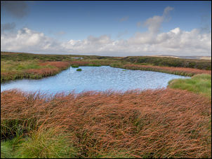 Windy Tarn |
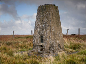 Eroded trig post |
 Theodolite cradle |
| The currick was in an area of stony outcrops so would have certainly helped the builders. I continued up the hill to the trig post which was surrounded by and area of eroding bog. There was a lot of erosion on the concrete column and the top theodolite cradle was almost separated from the concrete. It was the most dilapidated column I have seen. I headed SW across rough ground to start my descent. |
 Mining scars |
| In the distance I could see a quad bike moving across the horizon. Further on I could see another and they were herding the sheep off the fell and down to the valley bottom where I was heading. I headed for a rocky outcrop on Carr Crags and waited while the sheep were below me. I reached the valley bottom and investigated the mine entrance to Broadleyhill Low Level (lead). It was in good condition and no barrier gate to protect the entrance. The ground below was very wet though no water was coming out of the mine. I came to a track by Flushiemere Beck and headed down the valley. |
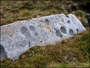 Interesting erosion |
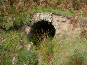 Broadleyhill Low Level Mine |
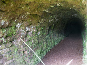 Broadleyhill Low Level Mine |
| Ahead I could see the full height ruin of Flushiemire House and several quad bikes and drivers parked. They had stopped while driving the sheep down the valley. When I reached the ruin they had gone and I watched the large flock of sheep being moved down the valley. Flushiemere House is very large and even though most of the rood has fallen in it is still possible to see substantial parts of the stairs and floors. An on-line search shows it was probably abandoned in 1949. By now the sheep had gone so I continued along the track by the river back to Watson’s Bridge and my car. |
 Flushiemere House |
 Industrial buildings by the house |
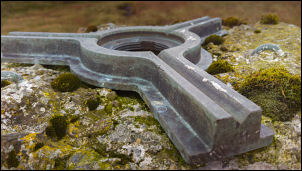
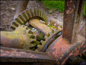 Old agricultural gears |
|
|
|