Lat/Long: 54.567247, -02.868763
OS Grid Ref: NY 43927 19461
I had a dark drive to Penrith then off via Eamont Bridge to
Ullswater. Driving south along the east shore road there was
still a lot of water about even though it wasn’t raining. My
plan was to start my walk from St Peter’s Church car park at the
top of the steep climb up The Hause. I parked and got my stuff
ready but it began to snow heavily. |
Mellguards. |
If it continued it would be difficult getting down so I
drive back down to a parking space near the bottom. I set off
along the road then right and through the hamlet of Howtown.
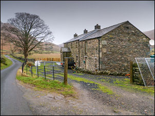
Passing the houses I continued up a narrow lane towards Fusedale
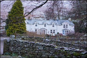
but soon turned left along the access road to the large property
of Mellguard. |
Below Swarth Fell. |
|
It didn’t look like anyone had driven along it in a while and
the house didn’t looked lived in as all windows were curtained
and no vehicles around. I went through the gate and started to
follow the wet track. I soon saw surface box lids indicating
it’s the continuing route of the water pipeline I saw last week.
My way was now steeply up the hillside to Swarth Fell. |
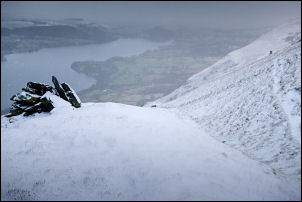
Swarth Fell. |
Ullswater and Hallin Fell to the left. |
|
The snow had stopped but a thin layer of wet snow lay on the
ground. It’s a good job I’m climbing up and descending this
stuff would be tricky. The first part was steep & slippy but not
too bad. The gradient eased at a large boulder where I saw some
fox prints in the snow. Then it steeply up and old sunken way
running diagonally up towards the high fell. After a zig zag at
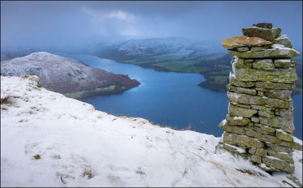
the top I reached the high path. It was very overcast and gloomy
but I still had good views of Ullswater. I headed noth to
Bonscale Pike then a short descent to the cairn called Bonscale
Tower. I stopped to admire the views then started to descend to
Swarth Beck. I took a minor path which took me to the west of
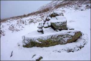
Arthur’s Pike and above Whinny Crag. It was a steep drop off so
I needed to take extra care in the snow as I had a look at an
odd shaped cairn. |
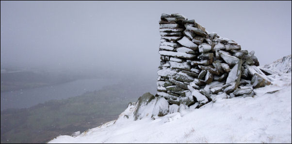
Odd cairn on Barton Fell. |

Rainbow from Barton Fell. |
The path continued NE to White Knott but I decided to take a
direct descent down to the lower track which I reached at the
reservoir. It was wet and muddy in places but generally easy
walking. |
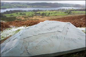
Information stone by the track. |

Barn in Auterstone Wood. |
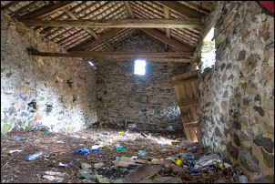
Barn in Auterstone Wood. |
I had a look at an old barn Auterstone Wood then continued
to take a path down through a wet field to the Outdoor Centre. I
crossed the road and walked to the ferry pier. Continuing along
the shore path I climbed some steps to a higher path along the
east side of Hallin Fell. |
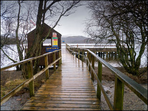
Howtown Pier. |
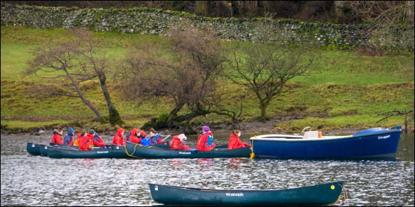
Students from the Outdoor Centre. |
|
I turned right to return to my cay. Before heading home I drove
back up the The Hause in into Martindale to Henhow Farm. It was
now raining but I took a couple of photos as the Google street
view of 10 years ago shows the farm as a ruin. |
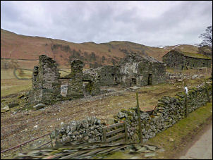
Henhow Farm 2010. |
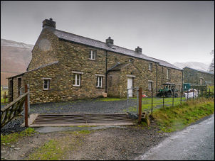
Henhow Farm today in the rain. |
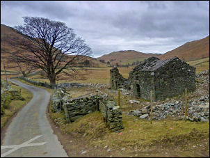
Henhow Farm 2010. |
Henhow Farm today in the rain. |