|
|
Lat/Long: 54.684152, -03.039614
OS Grid Ref: NY 33073 32619
With deteriorating weather forecast for tomorrow I decided to
head for the Cumbrian fells today.
It was overcast as I drove
north on the M6 motorway. Driving past Tebay the windsock was
hanging vertical and loose, there was no wind. I turned off at
Penrith and headed back to Mosedale Valley to try another walk. |
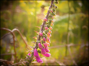
Foxgloves by the road. |
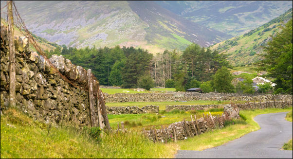
Looking back up the valley. |
|
On the way I noticed the illuminated sign by the road saying
‘Stay Home - Essential Travel Only’ was still there in a layby.
It was 7:35 a.m. when I arrived and there was one vehicle parked
which had been there overnight. The weather was still overcast
as I headed east back along the narrow nane passing Swinside and
back to Mosedale. I was shooting sort bits of video on the way
with the intention of making a short video of the walk. |
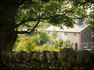
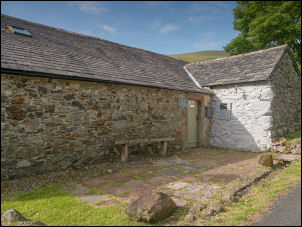
House in Mosdale. |
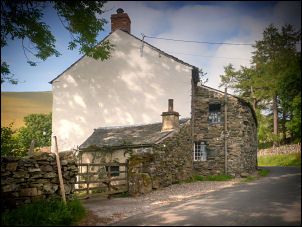
House in Mosdale with small hut and
chimney. |
Mosdale Friends Meeting House |
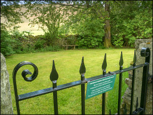
Friend's Burial Ground. |
|
In Mosedale I visited the entrance gate to the Quaker burial
ground and was disappointed to see that someone had let their
dog’s dump on the ground by the gate and left it behind. I still
had a couple of miles of road walking to do so continued north
along the lane. It was extremely pleasant and quite warm at
first as the sun came out for a while but soon vanished behind
the clouds. |
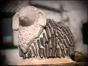
Mosdale art. |

Footbridge and ford at Carrock Beck. |
|
For quite some time I didn't see anybody or any vehicles until
away in the distance a lone cyclist approached. It was a
middle-aged woman pottering along quite slowly. I reached the
footbridge at Carrock Beck and left the road here after
photographing the bridge and ford. I made a mistake as I should
have crossed to the north side of the Beck but I noticed a minor
path along the south side and followed it. |
|
|

Great Mell Fell from Carrock Beck. |
|
It almost petered out but there was a discernible route which
eventually climbed up above the river and then back down to
cross at a small ford with sufficient rocks to allow me to hop
across to a better path on the far side. I climb up the valley
side to reach the old access road to the area of mines up ahead.
I was heading west and decided to stop here for an early lunch
of sandwiches. A lone walker came up behind me and I stopped as
he passed by and continued up towards Caldbeck Fells. I watched
him vanish into the distance then followed the track up to an
area of old mine workings. There were plenty of old spoil heaps
and the remains of a building but I couldn't see any mine
entrances. |
Higher up was the Driggith Mine and seemed mostly opencast
workings. The 1899 map showed it to be disused. Eventually I
reached the head of the valley and joined the main track running
along the east side of High Pike. The weather had cooled down
and it felt like rain was on the way but none arrived. |
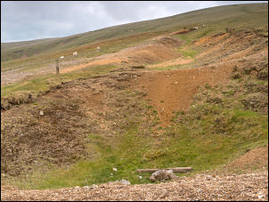
Driggith Mine opencast workings. |
|
I could see the walker I'd seen earlier following the path
towards Carrock Fell but I continued past Red Covercloth and
Hair Stones to the Lingy Hut. It looked like a bit of
refurbishment had been done on the door and inside everything
was clean and tidy. I didn't stay long then started the direct
descent down Grainsgill Beck. |
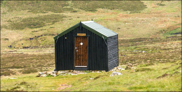
Lingy Hut. |
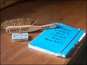
Lingy Hut cards, brush & guest book. |
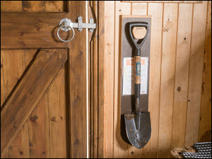
Shovel for the toilet trek. |
|
The path is quite easy to follow and I descended down to join
last week's descent route where I'd followed the side of the
beck. Today's descent was much easier on gentle sloping grass
and not stony like last week. As I descended I looked back to
the Lingy Hut on the horizon and could see two people
silhouetted outside. I stopped at the mine to have another look
before continuing down to the road at the valley bottom. It was
then a short walk back to my car where a few others had arrived
and parked in my absence. |
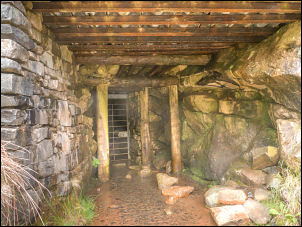
Mine entrance. |

Approach to the mine. |
|
|
|