|
|
OS Grid ref: NY 34580 35837
Lat/Long: 54.713266, -03.016968
The weather forecast was mostly rain & unfortunately it was
correct. I drove to north Cumbria and parked at the small
parking area at Calebreck. The increasing westerly wind was
bringing drizzle with it and as I set off I had no views of the
higher fells due to low cloud. My first objective was to visit
the Howthwaite Stone which I soon reached. |

Howthwaite Stone |
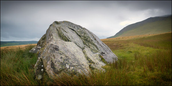
Howthwaite Stone |
|
There is no path to it so crossing boggy rushes was needed. The
current maps don't identify it but the 1909 OS map does. It's a
large boulder about 4m long and 3m high. Nearby I joined the
minor path heading west and directly up West Fell and above
Sunny Bank. With the drizzle, low cloud and not much to see I
pressed on to reach the main track below High Pike. |
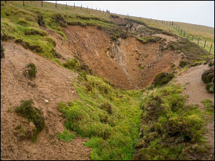
Old mine workings. |
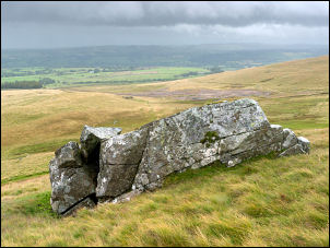
Dumpy Stone. |
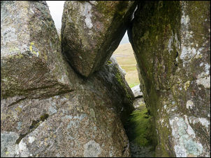
Dumpy Stone gap. |
|
When I reached it I turned right to follow it down the east side
of the mountain. I crossed some rough grass to visit another
large boulder called the Dumpy Stone on older maps. Again, this
isn't identified on modern maps but shows up on the 1909 map. It
is interesting as it is split with a gap to peer through. There
is a substantial track below which I followed to the west. My
original plan was to follow it to above Little Fellside and
descend there. With the mist and rain I decided to descend
earlier and followed a minor track down to the south of Nether
Row. |

Rounding up the sheep. |
Rounding up the sheep. |
|
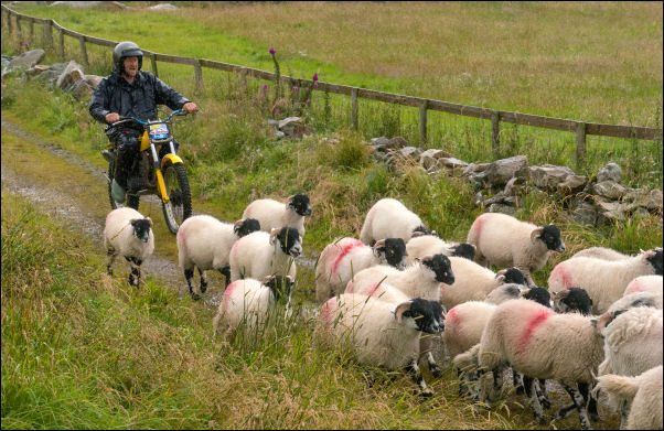
As I approached the buildings I watched some farmers herding the
sheep into the narrow lane. Two were on quad bikes and another
in a field using a motorbike to herd the sheep. It took them a
while so I stood bye to watch. They didn’t have dogs which I
would have thought would have been ideal for this kind of task.
I didn’t go through the final gate but turned right and between
buildings to cross a wet field. |

Rounding up the sheep. |
|
At the far side I missed the path crossing the wall and went
through the wrong gate. I soon regained the correct route and
followed the path SE by Hudscales. The path then crossed open
fields by Woodhall Park but with no evidence of a path on the
ground it was difficult to keep on the correct route. I
eventually emerged at Calebreck and back to my car. |
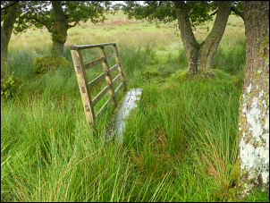
Wet crossing of Woodhall Park. |
|
|
|
|
|