|
|
OS Grid ref: NY 31584 23207
Lat/Long: 54.599279, -3.059119
|
|
Tewet Tarn |
|
Overcast for my drive north on the M6. The Google Map image
showed standing traffic from just south of Penrith & when I got
there the sign said 'vehicle fire’ but I wasn't held up for
long. I headed west towards Keswick then south along the B5322
to Wanthwaite and. St John's on the Vale road to park at the
road junction near Wanthwaite. There was already a mini parked
when I arrived but I fitted in the small parking area without a
problem. I'm doing part of a walk I did with Eric & Jimi
on 22 Dec 2004 & have transferred the track to my GPS. I set off
along down the lane towards St Johns Church and just over the
bridge was a much larger parking area I could have used. A van
was parked with windows covered so looks like someone was
sleeping inside. |
|
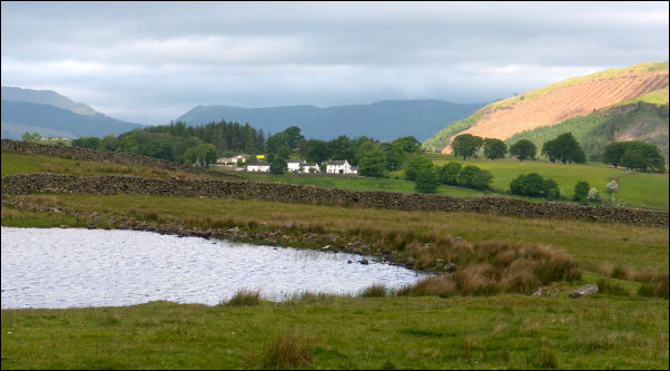
I stayed with the road towards Naddle Bridge but before getting
there left the road to head through a gate and a green path
heading across fields towards St John's Church. I soon reached
Tewet Tarn and passed it to continue towards the church. Behind
the church are the High Rigg fells which are undulating but not
very high at 357m. Before I saw the church the Carlisle Diocesan
Youth Centre was more prominent. I reached St Johns Church and
was pleased to see that it was open. |
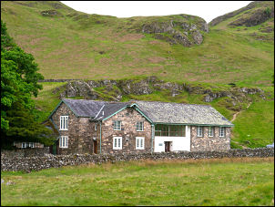
Carlisle Diocesan Youth Centre. |
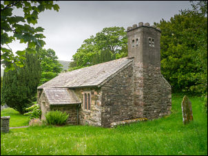
St John's in the Vale. |
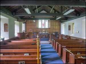
St John's in the Vale interior. |
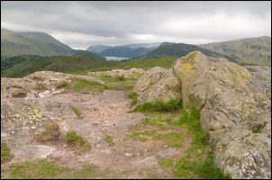
High Rigg summit. |
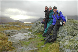
Jimi, Eric & me 21 Dec 2004. |
|
After a look inside I continued up the fell following a path
behind the empty and closed Youth Centre. The weather continued
overcast and dull but the cloud level was high enough for me to
see most of the surrounding fells. The tops of Blencathra were
in cloud. I reached the main summit cairn at 357m and stopped to
take a photo from the same spot on 22 Dev 2004 with Jimi, Eric
and me on a rainy day. I continued the undulating path south to
Wren Crag where the steep descent started down towards the road. |
Before the road I turned left to follow the low level path
along the east side of the fells. I was mostly down at St John’s
Beck river level. At Low Bridge End Farm it was interesting to
see they had a tea garden and checking my old photos they had it
in Dec 2004. |
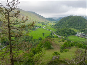
South end High Rigg looking south. |
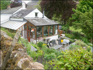
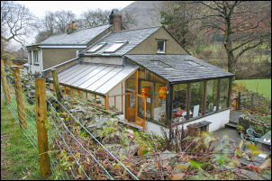
Low Bridge End Farm cafe today. |
Low Bridge End Farm cafe 21 Dec
2004. |
|
I was on top of an artificial |
Yew Tree Farm. |
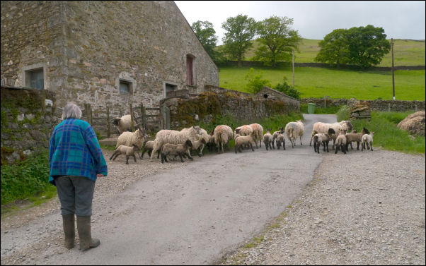
When I reached the road below the Church I turned right to
descend to Yew Tree Farm where some sheep were being moved from
the yard to the field. I stopped for a while to chat to the
woman who said they were retiring soon and the farm had been
sold but they hadn’t got anywhere to go yet. I continued down
the narrow lane, over the bridge and back up to my car.
|
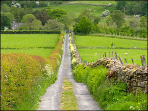
Descending from Yew Tree Farm. |
|
|
|
|
|
|
|
|
|