|
|
OS Grid ref: NY 31263 23073
Lat/Long: 54.598136, -03.065433
|
|
|
There was drizzle most of the drive to the start of the walk and
very overcast with low cloud when I set off walking up the lane
towards Yew Tree Farm and the Youth Centre and Chapel. I left
the road to turn right into the open fell heading roughly north.
It wasn’t quite wet enough to have to put my waterproof trouser
on. I checked my Garmin gps and noticed the screen was blank. It
was on when I started but must have caught the off button when
fitted to my rucksack. |
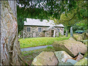
St John's in the Vale. |
|
I turned it on again and continued over the hill and then saw
Tewet Tarn in the distance below. There were also several
walkers heading towards me and as I got closer noticed some were
carrying tripods and bags, presumably carrying camera stuff. The
first few looked ahead as they passed but two at the back
confirmed they were photographers. I suggested they call at the
Chapel which is usually unlocked. I continued to the road then
left to the path to turn off down to the underpass under the
A66. The gloomy weather continued and Blencathra was shrouded in
mist. |
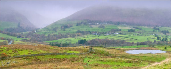
Tewet Tarn and Blencathra behind. |
Further down I met the path on the line of the old
Keswick - Threlkeld railway path. I turned right and met many
people coming the other way, all saying a cheery hello or good
morning. |
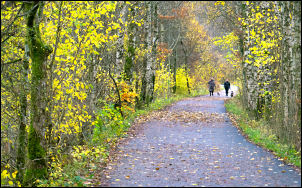
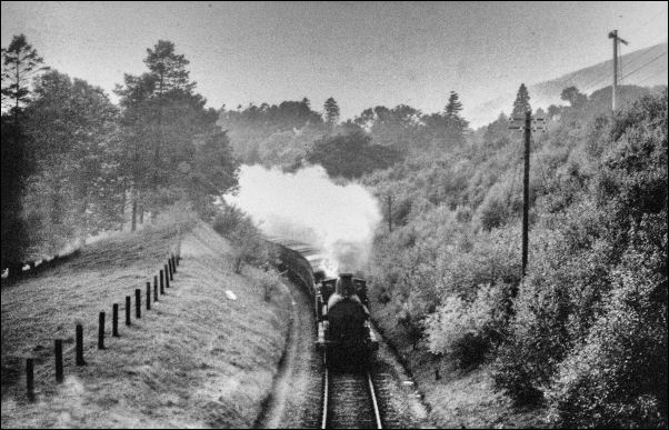
Keswick - Threlkeld railway path |
Keswick - Threlkeld railway path |
==
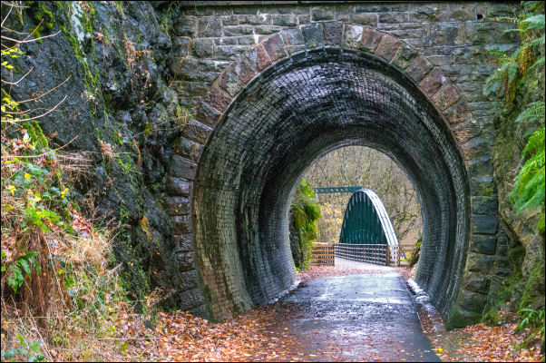
The Keswick to Threlkeld Railway Trail was severely
damaged by storm Desmond in Dec 2015 but is now repaired and a
delightful walk between Keswick & Threlkeld, Cumbria. I was
wandering along part of it this morning (Thu 18th Nov 2021) and
stopped to read one of the many information boards. The design
engineer was Sir Thomas Bouch (1822–1880) who was awarded his
Knighthood for his work on the line. The line was officially
opened for goods traffic on 1 Nov 1864 but not opened for
passengers until 2 January 1865. Amongst other works Bouch went
on to design the first Tay Railway Bridge at Dundee. He
subsequently fell from grace when a violent storm hit the bridge
on Sunday 28 December 1879. The bridge was destroyed and a train
that was crossing fell into the River Tay, killing all 75
passengers and crew on board.
== |
Past times on the railway. |
|
Before the end of the track I turned right up a short path under
the A66 to the old road at Threlkeld Bridge and Bridge House.
Across the road I headed across the fields but route finding
wasn’t easy as there were no signs. At an area called Moss Dikes
there was a pile of stones which seemed to be an old ruin. |
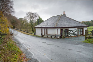
Bridge House. |
|
I checked the old maps later and found it was building in 1860
but had gone by the 1890s. The way south was unmarked but up to
my right I could see a stile over a wall so I headed for it. at
the far side of the field I could see another gate which I
headed for. I was then on the lane and an easy walk back to the
car. |
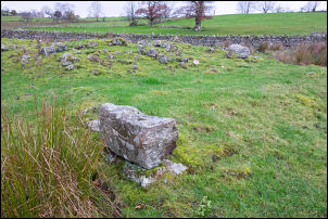
All that remains of Moss Dikes. |
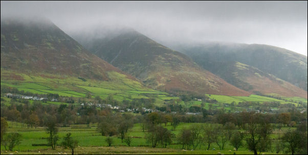
Gloomy Blencathra with Threlkeld in the foreground. |
|
|
|
|
|
|
|