|
|
lat / lon: 54.624845, -03.153667
OS grid ref: NY 25612 26135
|
|
|
The Summer Solstice and longest day.
I drove to the
Underskiddaw Community Centre in Millbeck and parked my car in
the area at the front, contributing £2 in the payment box. |
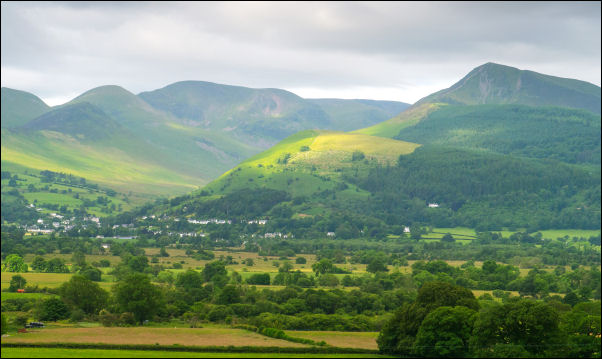
Looking towards Causey Pike. |
|
|
|
I've planned a one way walk along the east side of Bassenthwaite
Lake and return by bus. I walked west along the lane for a short
while then up a very overgrown path climbing above the road. At
Lyzzick Wood the stile took me into an area with no path. I
managed to find a forestry track amongst the debris of previous
felling. I don't see how this can be called forestry or land
management. |
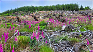
Forestry desolation. |
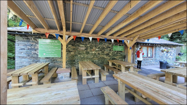
Dodd Wood cafe. |
|
I climbed higher through a desolate area of felled trees and
kept with the forestry tracks all the way to Dodd Wood car park,
toilets and cafe. A lady was there who said the cafe opens at
10am. I crossed the road to take a public path around the
Mirehhouse area which is open to the public on payment of a fee.
The path took me around the house so I didn't get a chance to
see it. Apparently it was originally built in 1666 by Charles
Stanley, 8th Earl of Derby. |
I was soon out into open fields and followed the path to the
Church of St Bega, standing alone with no road access. The
church is quite ancient and fortunately was open so I could have
a wander around inside. |

First view of St Bega's. |
I couldnt find much on-line about the history of the church but
inside was a booklet with some information:
Bega was the
daughter of a 7th century Northern Irish Chieftain and only 2
other churches are dedicated to her. The older parts of the
church probably date from the 10th or 11th century. |
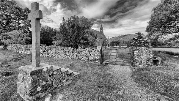
St Bega's Church entrance gate. |
|
|

St Bega's Church. |
|
|
|
|
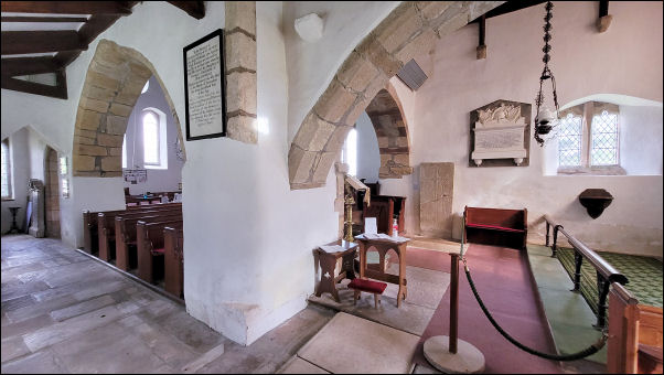
St Bega's Church interior.
|
The Highmore Memorial
Probably late fourteenth
century, inscribed.
HIC JACET ROBERTUS DE HEHMUR CUJUS ANIME
PROPRICIETUR DEUS.
(Here lies Robert Highmoor, upon whose
soul may God be merciful).
==
The 1867 & 1900 OS map calls
it St Bridget's Church. Its not until the 1952 edition that the
church is called St Bega's. |

The Highmore Memorial |

St Bega's Church interior. |
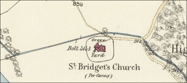
1864 Ordnance Survey Map showing St Begas's Church as St
Bridget's Church. |
Afterwards I sat outside to eat my sandwich. I continued
across fields then along a minor road for a while then turned
left to follow an overgrown path towards the lake side. Sections
were raised on duck boards. |

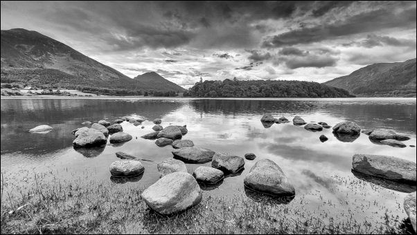
1830s view. |
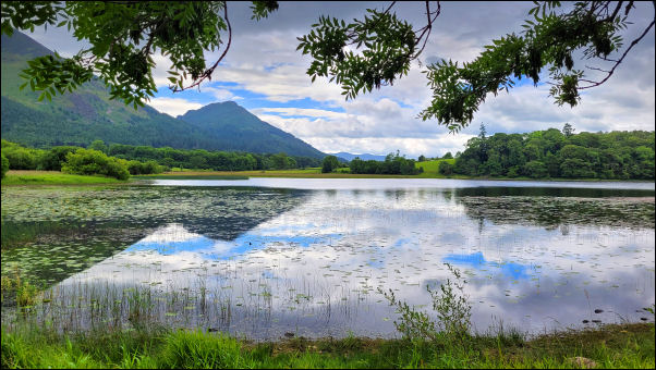
Bassenthwaite Lake. |
Bassenthwaite Lake. |
|
|
|
The path followed the shore and reached an area of parked canoes
at Scarness campsite. I’d hoped to catch the X4 bus at
Brackenrigg but realised I wouldn’t be able to get there in
time. Fortunately there was another bus the 445 at 11:57 at the
Castle Inn further along the road. I had over a mile of large
field to cross and the walking was starting to get a bit dull in
the overcast weather. |

Walkway to Scarness. |

Castle Inn. |
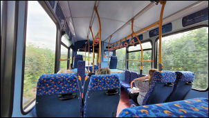
445 bus back to Millbeck. |
|
The last part of the path was through a wood then I reached the
busy B5291 which doesn’t have a footpath. I reached the bus stop
at the Castle Inn in good time and only had about 10 mins to
wait. The bus arrived a few minutes late and I was able to use
my Lancashire bus pass to get a ride back to Millbeck Road end.
It was then a short walk up the lane back to my car. |
|
|
|
|
|
|
|