|
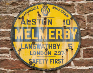
Melmerby, Cuns Fell, Melnerby
Fell, Fiends Fell, Hartside, Gamblesby, Cumbria. |
|
|
NY 6145 3737 |
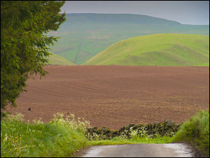 Approaching Gale Hall and the fells |
|
|
Turning off along the farm access track I was amused by the mail box fixed to the fence. It was an old microwave oven! I was on the line of a public path but after the farm it didn’t go the way I was heading. I was heading for Cuns Fell so left the farm track and headed across fields to the back of Agar’s Wood where I would be out of sight of the farm. I reached an interesting valley called the Shanks of Catterpallot then started the steep climb up to Cuns Fell. |
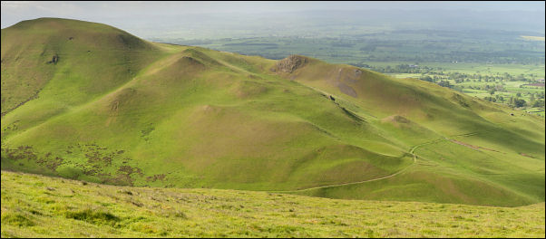 Muska Hill from Cuns Fell |
|
|
There were very nice views across to Muska Hill and beyond. The SE face is a fascinating mix of boulders and even though today’s wind is very strong and from the west there is always a boulder large enough to find some shelter. The summit is a rocky outcrop but no cairn of significance. After a brief coffee stop I headed across the grassy saddle of Hause Mouth then up and old drovers track up to the summit of Melmerby High Scar. I followed the wall for a while to try and get some shelter but had to leave it to head over Dun Edge. The ground was rough at first but over the summit improved to be relatively dry underfoot. This was a nice surprise as I was expecting it to be wet after the recent rain. The map doesn’t show a path but there is a very distinct one which is easy to follow. |
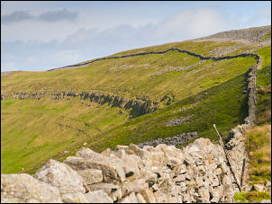 Melmerby High Scar |
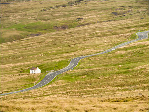 A686 |
On Knapside Hill was a stone shelter and as it was the only one around I used it to escape from the wind and have an early lunch. With a strong wind and temperature of 7deg C it felt quite cold so I made a dash for Little Knapside Hill to the north. On the approach to Fiend’s Fell I came to an interesting feature where a stream coming off the fell vanished down a sink hole. There was quite a lot of water flowing and I don’t know which side of the fell the water would emerge. |
|
Up ahead I reached the windy summit of Fiend’s Fell and the trig point pillar at 634m. This wasn’t the highest point on the walk. The small cairn on Dun Edge is at 725m. I followed a quad bike track towards the café at Hartside summit but didn’t reach the buildings as I wanted to follow the track down via Twotops Hill. It was nice to lose some altitude and escape from the relentless wind. I crossed the main A686 road and had a very pleasant walk down the walled lane to Hazel Rigg farm. Here I joined the adopted road and followed it to a way marked cross roads where I turned south to follow walled muddy track. |
 The way to go |
 Approaching Melmerby |
As I walked along there were several other tracks branching off and there seemed to be an unusually large number of walled track forming something of a maize. On the final approach to Melmerby I met the first and only other walker of the day. |
