|
Croglin, Thack Moor, Watch Hill,
Blotting Raise, Cumbria |
|
|
NY 5750 4727 |
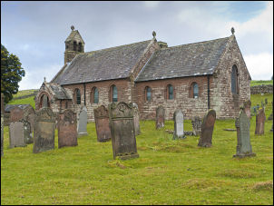 Church of St John |
|
|
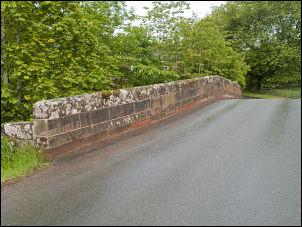
The parapet was interesting as there was a course of different and possibly more recent stone just below the parapet capping stones. I can only assume this was to raise the parapet height. |
|
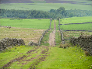
I continued south along the lane to Clint Plantation where I turned left up the long straight track heading directly for the fell. At the terminal gate I entered open fell and followed the green track upwards. To my left were the abandoned Clint Quarries and both sides of the track were disused and crumbling lime kilns. The track continued up then levelled off. A new stoned track turned to the right while the green track continued along the contour. The new track wasn’t shown on the map so I continued on the green track for a while then changed my mind and decided to follow the new track. |
 Clint Lane |
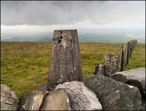 Thack Moor trig point |
Instead of turning back I headed over the fell in a loop to join the track upwards. It soon reached the wall and ran parallel to the summit ridge and gate. Through the gate it continued for a while then fizzled out but a reasonable path was evident and I followed it up the ridge to Thack Moor summit. The wall gave some very welcome shelter from the westerly wind which was quite cold (8degC) for the time of year. The trig point was on the other side of the wall and there was no crossing point, which I found puzzling. |
|
I was just below the cloud when I arrived and had excellent views to the Cumbrian fells. Ahead I could see the large cairn on Watch Hill, just over a mile away. The path was indistinct in places but fairly good to follow. The cloud was quite changeable and Thack Moor summit vanished behind me. The cairn was partly collapsed and must have been considerably higher when first built. The path continued to Watch Hill where a wooden stile and small gate crossed the wall. I didn’t use it as I was descending to Croglin Water. About half way down I found a sheltered depression by the wall so I took the opportunity to have my lunch out of the wind. As I approached the valley bottom I saw machines and road construction going on in the distance. The work was quite substantial and I puzzled why such a high quality road was being put in through such a remote area. As I approached one of the workmen walked towards me and wondered why I was taking pictures. |
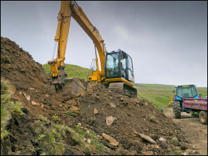 Roadworks in the valley |
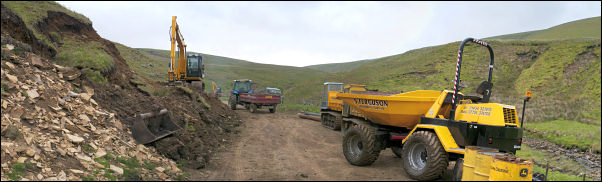 Roadworks in the valley |
|
 The ruins of Lawyer’s Cross |
|
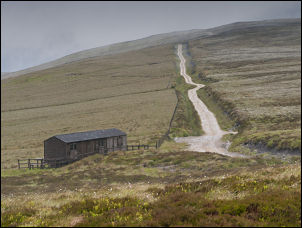 Shooting hut on Croglin Fell |
He thought I was from some nature conservancy group. We chatted amicably then I climbed the side of Kiln Beck above their workings. I reached an old green track I’d noticed earlier and found an old collapsed kiln on the opposite side of the beck. I followed the track along the contour then up to the next site I wanted to investigate. The track petered out before I reached the ruins of Lawyer’s Cross. It must have been a substantial property as there were remains of guttering and a downspout. The odd thing was I couldn’t see any evidence of an access track. I continued on across White Sike to pick up the stoned road over Croglin Fell. It is a vehicle track and probably for the grouse shooters. The cloud swirled just above me and for a while the rain returned. |
|
I had a quick look in the shooting hut as I passed then continued up to the trig point on Blotting Raise but I was in thick cloud and didn’t see anything. |
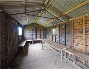 Inside the hut |
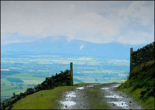 Just below the cloud |
|
 Descending to Croglin |
The descent down to Croglin was easy and as I got lower the views improved. |