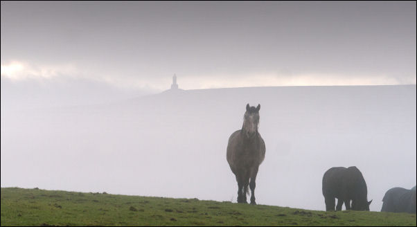
View as I set off. Darwen Jubilee Tower in the background. |
Darwen Tockholes border. |
|
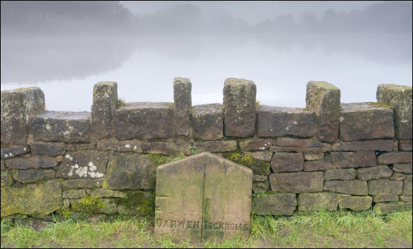
On the farm track it was easy walking down to Bury’s Tenement
where a woman was taking some horses into a field. I continued
down to the Earnsdale Reservoir embankment. Half way along was a
Darwen / Tockholes boundary marker stone. At the far end I was
pleased to see a rubbish bin where I could leave my rubbish.
Further down the lane was the stone memorial to the cyclist
Russell Hewitt who died after a crah at this spot in 2000. I
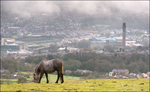
continued up the lane and joined the path op towards Darwen
Tower. The mist had cleared a bit and I had nice views down to
Darwen. There were lots of walkers about. |
View on the climb. |
A plaque on the tower is to celebrate the victory of
the local people for the right to access the moor in 1896.
I
continued along the path to the SW then across Darwen Moor
tracks to descend to Tockholes Road. I turned left then along to
the main A675 Belmont Road where I crossed over to head out onto
the moors along the track. |
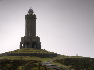
Darwen Jubilee Tower. |
|
My first objective was |

1897 Erected to commemorate the Diamond Jubilee
(60 years) of
the Reign of Queen Victoria.
Foundation laid June 22nd 1897
opened Sep 24th 1898. That's just 15months. |

Looking down from the climb. |
|
The old map calls it Slater Lane. The earlier mist had gone but
it was still a bit overcast. When the track turned to the NW it
started to deteriorate badly and I had a difficult jub getting
across some of the quagmires. Eventually I could see Great Hill
and started to climb steadily until I reached the Spitlers Edge
path. I didn’t go over Great Hill but continued along the path
to the ruins of Great Hill Farm. As I approached the sky
darkened and the rain started. I didn’t have far to go to reach
Drinkwaters ruins but had to be careful to avoid the muddy parts
of the track due to my heavy pack. I climbed above the ruins to
find a camping spot where I left my pack and took to two plastic
bottles to get water from the spring below Drinkwaters and
adjacent to Joe’s Cup memorial. Back at the campsite I erected
the tent in the wind and rain and as expected inside was sodden
and I had to use my glove to mop it out. I had a brief view out
to sea before the weather closed in and the tent was battered by
wind and rain though the night. |
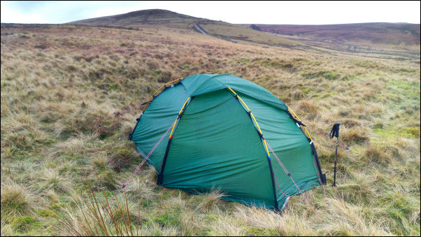
Birthday camp above Drinkwaters and below Great Hill. |
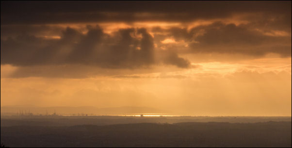
Evening view from the tent. |
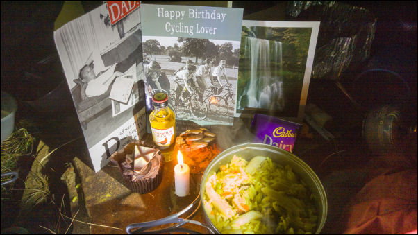
Birthday tea in the tent. |
|
|
|
|